QC technologies
JSC GEOTEK applies quality control (QC) technologies, starting with visual control and ending with express processing of field data.
JSC GEOTEK applies quality control (QC) technologies, starting with visual control and ending with express processing of field data.
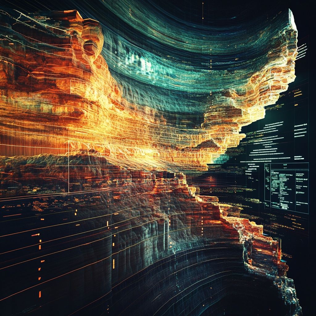
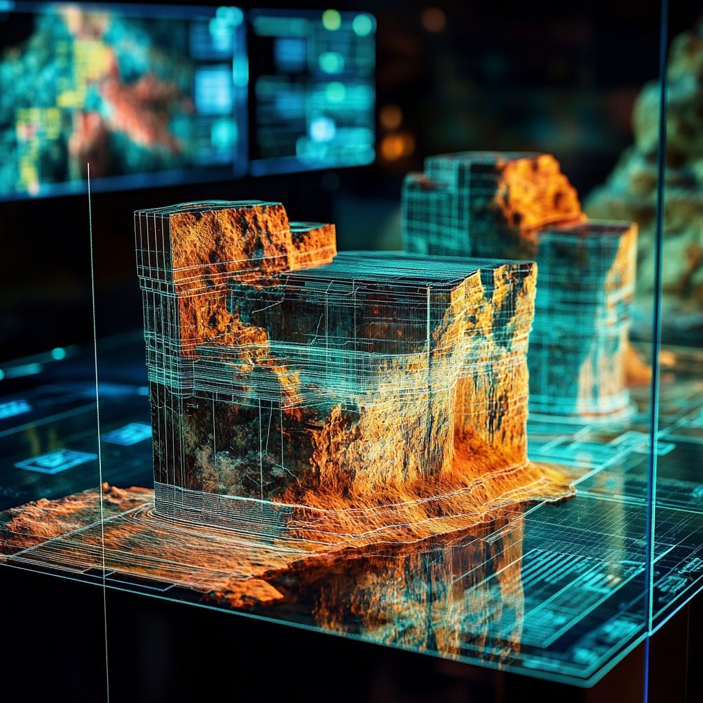
100% subsidiary of JSC GEOTECH, GeoPrime LLC, provides full-cycle standard and advanced processing of 2D/3D/4D/4C seismic data of any complexity.
Processing is performed both in the time domain and in the deep domain using advanced technologies. In case of the Customer’s needs and in complex seismogeological conditions, specialized data processing is carried out.
We use advanced technologies and unique algorithms for modeling and adaptive subtraction of various types of interference, taking into account the influence of near-surface waves, including the CIP tomography method and SWAMI, multiple wave suppression technologies based on modeling — GSMP (Generalized Surface Multiple Prediction), DWD, GDWD for marine data and XIMP (Extended Internal Multiple Prediction) for land data.
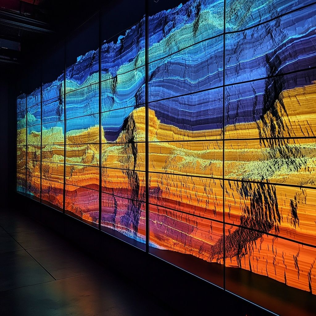
The processing process uses all modern migration transformation algorithms (Kirchhoff, WEM, Gaussian Beam, RTM) and the unique tomographic algorithm CIP-Tomo.
Time and depth processing taking into account VTI, HTI and TTI anisotropy, seismic data interpolation technology taking into account the azimuth of beam arrival, the use of borehole information to control processing at all stages (interpretation ISO support) guarantees the most accurate processing result.
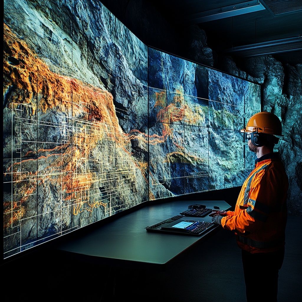
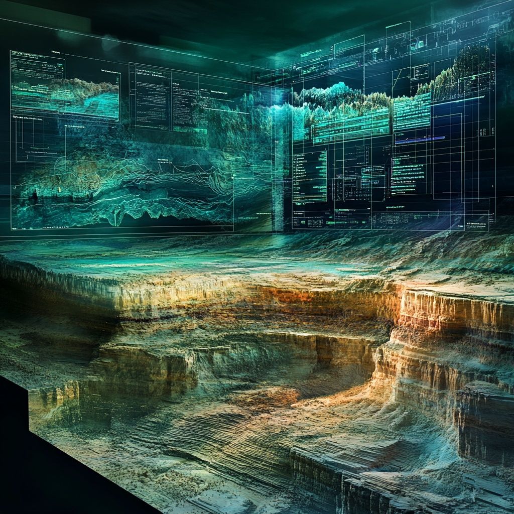
LLC GeoPrime carries out a full range of research on data interpretation: from collecting geological and geophysical materials and processing control (ISO), to constructing a geological model, assessing resources, calculating reserves and preparing recommendations for drilling and exploration plans.
Ensuring high quality field data is a key factor in the successful use of interpretation technologies, which minimizes risks and improves the accuracy of the geological model, allowing informed decisions to be made based on the results obtained.
Interpretation of seismic exploration materials, GIS and drilling data includes all the main stages from the collection of geological and geophysical information to the preparation and submission of reporting materials to the Customer and to state geological funds.
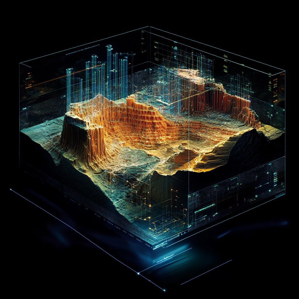
Structural interpretation
Dynamic interpretation
Stratigraphic interpretation
Inversion and AVO analysis